
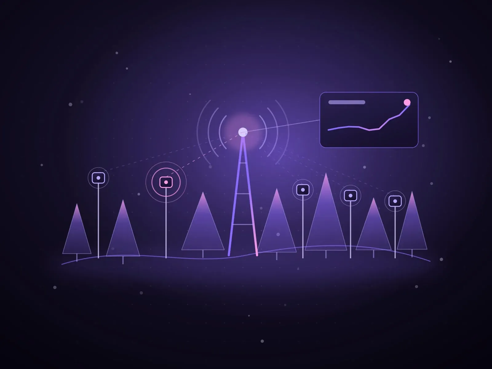
IoT wildfire monitoring places low-power sensors in a forest to measure temperature, humidity and smoke, sends the readings over a long-range radio network such as LoRaWAN, and turns them into alerts for responders when conditions become dangerous. It gives continuous coverage where patrols and watchtowers cannot be present all the time. The same architecture, with different sensors, monitors air quality, water and protected land.
This guide explains each layer in plain terms: what the sensors measure, why LoRaWAN suits remote terrain, how nodes are powered, how data becomes an alert, and where the limits are. It draws on Smart Forest, the wildfire monitoring platform Eurisko built in Lebanon.
What is IoT wildfire monitoring?
It is a chain of four parts: sensor nodes in the field, a radio network that carries their data, a platform that stores and analyses it, and the alerts and dashboard that people act on. Each part is simple. The engineering challenge is making the whole chain survive a forest, which the Smart Forest case study describes as the hardest environment you can ask electronics to survive: no grid power, patchy connectivity, extreme heat and humidity swings.
The purpose is time. Traditional monitoring relies on patrols and watchtowers, and human coverage thins exactly when conditions are most dangerous. Sensors do not replace people. They tell people where to look, earlier.
What do the sensors measure?
A wildfire node measures the conditions that make fire likely and the first signs that one has started.
- Temperature: a sustained rise, or a sudden jump at one node compared with its neighbours.
- Humidity: dry air and dry vegetation are the conditions in which a spark becomes a fire.
- Smoke: the direct signal that combustion has started nearby.
- Node health: battery level and signal quality, so a silent node is recognised as a fault and not mistaken for a quiet forest.
Wider environmental programmes add other sensors to the same network, for example wind, rainfall, soil moisture, air quality or water level. The rule is to measure only what changes a decision. Every extra sensor costs power, and power is the scarcest resource in the field.
Why is LoRaWAN used for forest and environmental sensors?
LoRaWAN is a low-power, wide-area networking specification designed to connect battery-operated devices. The LoRa Alliance, which maintains it, describes a range of up to 15 km in rural areas and battery life that can exceed ten years, depending on how often a device transmits. In December 2021 the Alliance announced that the International Telecommunication Union had approved LoRaWAN as a standard, ITU-T Y.4480.
The network has a star-of-stars shape: sensor nodes transmit to gateways, and gateways relay the messages over a normal internet connection to a central network server. A node does not need a SIM card or a mobile signal. It only needs to be within radio reach of a gateway, and a gateway only needs power and one backhaul link.
The trade-off is data volume. LoRaWAN carries small messages, a few readings at a time, not images or video. That suits environmental sensing, where a temperature reading every few minutes is enough, and it is why camera-based detection uses other networks.
How are remote sensor nodes powered?
With no grid in the forest, each node carries its own energy. In Smart Forest the field nodes are solar and self-powered. A node spends almost all of its life asleep, wakes to take a reading, transmits and sleeps again. That rhythm is the duty cycle, and it decides how long the node lasts.
Good designs make the duty cycle battery-aware: a node with a low battery reports less often in calm conditions and keeps its reserve for when readings start to move. Hardware also has to be cheap and rugged enough to deploy at forest scale, because some nodes will be lost to weather, animals and fire itself.
How does sensor data become an alert?
Raw readings are not alerts. The platform has to decide when a pattern means danger, and it has to do so with imperfect data. Links in remote terrain drop, so messages arrive late, in bursts or out of order. The ingestion pipeline must handle gaps and out-of-order telemetry gracefully rather than treating them as errors.
Risk is then scored in two ways. Thresholds catch the obvious: smoke detected, or temperature above a set limit. Trends catch the early signal: one node warming faster than those around it. In Smart Forest, threshold and trend-based fire-risk scoring escalates to SMS and app alerts the moment conditions turn dangerous, and alerts reach responders in seconds from a threshold breach.
Sensor data sits alongside weather-based fire danger ratings. The European Forest Fire Information System, for example, uses the Canadian Forest Fire Weather Index System and maps fire danger into six classes. A regional index says how dangerous the day is. Ground sensors say what is happening in this valley now.
What do operators see?
Operators need one view, not a table of numbers. The Smart Forest operations dashboard is a live map of every node, showing readings, battery health and alerts, designed for civil defence and municipal operators. A useful dashboard answers three questions at a glance: where is the risk, which nodes can I trust right now, and who has been notified.
Alert routing matters as much as detection. Decide in advance who receives which alert, by which channel, and what they are expected to do. An alert that reaches the wrong person at 3 a.m. is the same as no alert.
Where else does this architecture apply?
The chain of low-power sensor, long-range radio, resilient pipeline and alerting is not specific to fire. Municipalities, utilities and environmental agencies use the same pattern wherever the thing to be watched is spread over a large area without power or coverage.
- Air quality around industrial zones, ports and construction sites.
- Water: reservoir and wadi levels, flood warning, irrigation and leak detection.
- Agriculture: soil moisture and microclimate for irrigation decisions.
- Protected areas and coastlines: conditions, access and illegal dumping.
- City services: bins, lighting and parking, where the same network can be shared.
What are the limits?
A sensor detects what happens near it. Coverage depends on how many nodes you deploy and where, so placement should follow risk: forest edges, roads, picnic areas, power lines and previous ignition points. Ground sensors complement cameras, satellite detection and patrols. They do not replace them.
False alarms erode trust quickly. Dust, fog, a barbecue or a faulty sensor can all look like smoke. Tune thresholds during a full season before relying on automated escalation, and keep a person in the loop for dispatch decisions.
Finally, the network needs upkeep. Batteries age, solar panels get dirty, and vegetation grows over antennas. Budget for maintenance visits and for a simple way to replace a node in the field.
How do you start a monitoring project?
Start small, in the place where an early warning would have mattered most.
- Step 1. Choose one high-risk zone and name the people who will receive alerts and act on them.
- Step 2. Survey radio coverage and choose gateway sites with power, backhaul and line of sight.
- Step 3. Deploy a first set of nodes, placed by risk, and record each location precisely.
- Step 4. Run a full dry season in observation mode, tuning thresholds against what actually happened.
- Step 5. Switch on escalation, agree the response procedure with civil defence or the municipality, and rehearse it.
- Step 6. Review node losses, battery performance and false alarms, then extend the network zone by zone.
What did Eurisko build for Smart Forest?
Smart Forest is a connected environmental monitoring platform that Eurisko engineered to put live sensor data, risk models and alerting in the hands of the teams protecting forests in Lebanon. Eurisko delivered the full chain from sensor to siren: low-power environmental sensor nodes networked over long-range radio, an ingestion pipeline resilient to gaps and out-of-order data, and a real-time operations dashboard with automated risk alerts for field teams and municipalities.
The result described in the case study is a move from periodic patrols to continuous coverage, with operators seeing conditions across an entire forest in one view. Eurisko X, the games, immersive and connected experiences studio of Eurisko, carries that IoT practice forward. Eurisko was founded in 2009 and has more than 200 in-house staff, with offices in Adma, Riyadh, Dubai and Larnaca.